Application
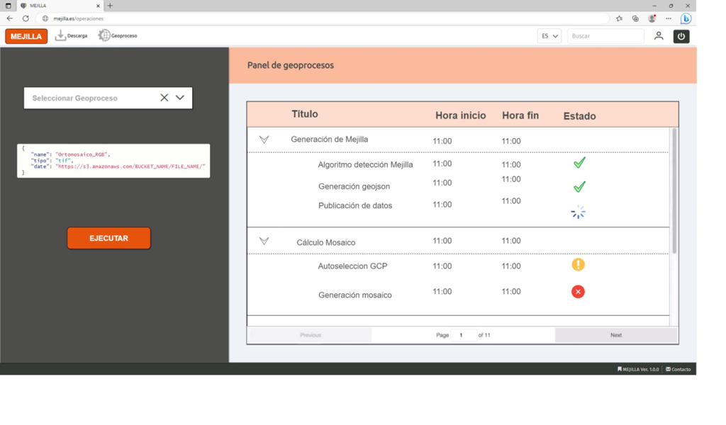
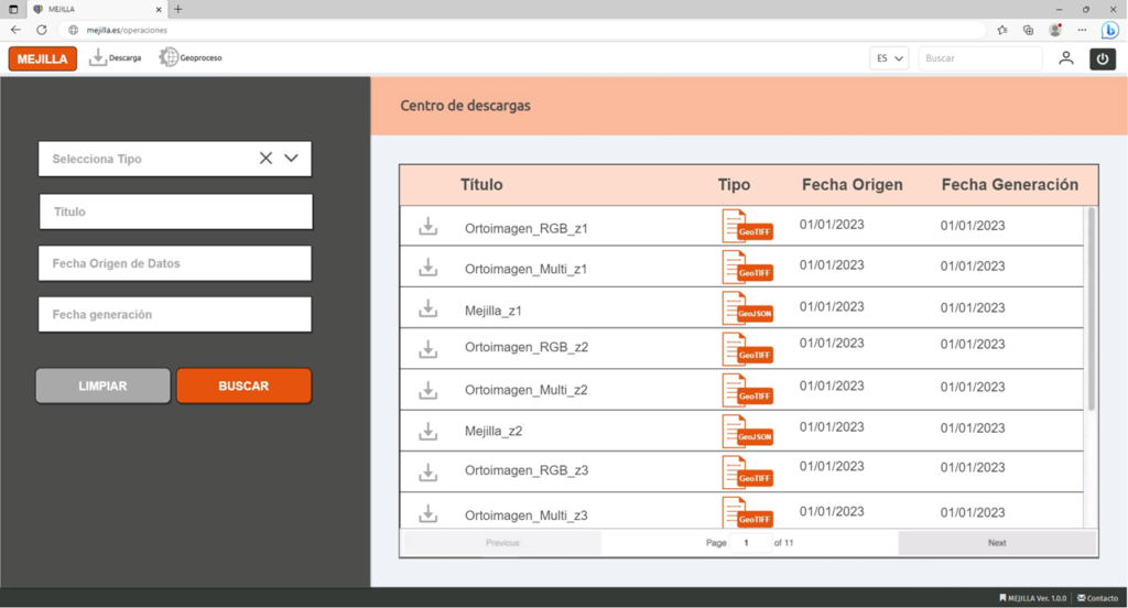
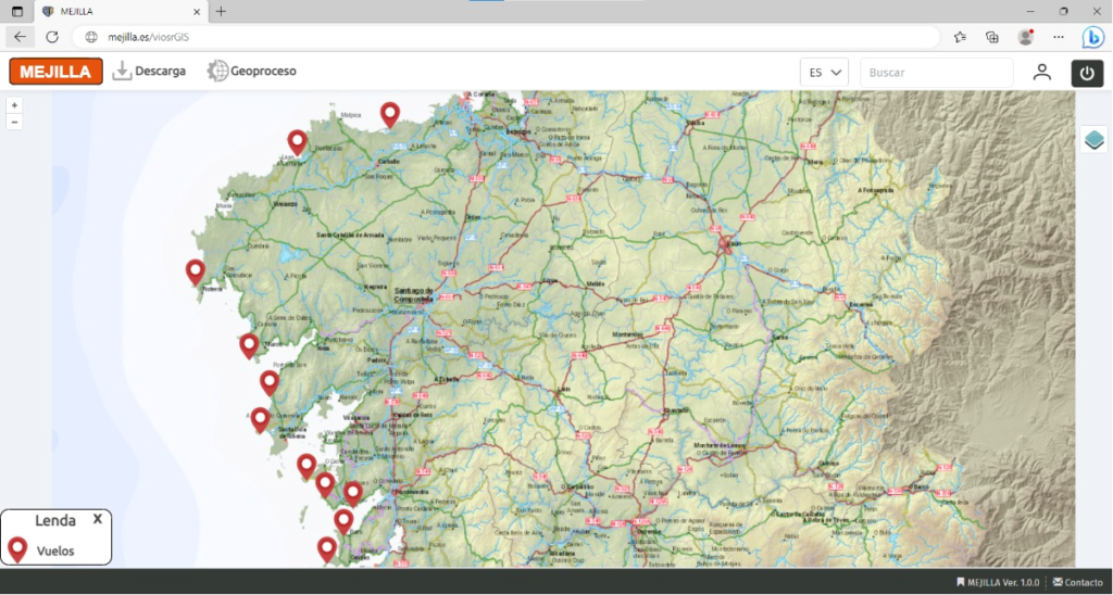
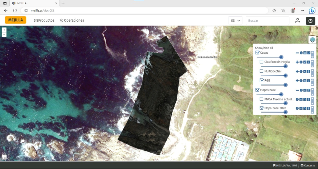
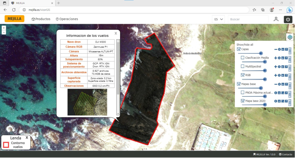
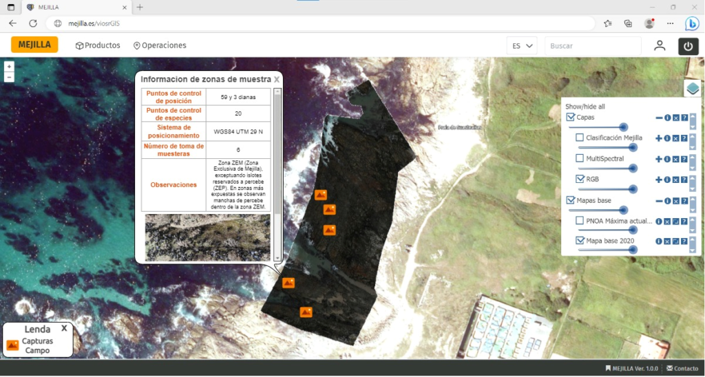
The MEXILLA project, taking advantage of the possibilities offered by the information captured in the flights carried out by drones to access surfaces with high spatial resolution, has as its fundamental objective the development of a system that allows the treatment and visualization of data to facilitate the management and decision making with low operating costs and with greater scope and accuracy than traditional systems.
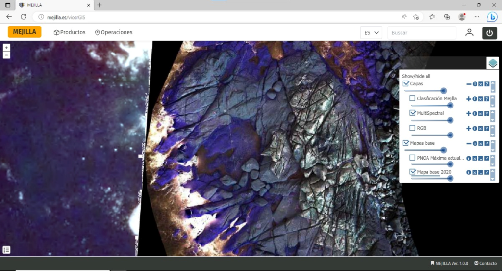
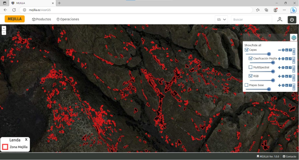
The system will have interactive visualization tools, which will allow the different data and information layers to be complemented and cohesive, as well as an object segmentation and classification module based on Artificial Intelligence algorithms that will take the input orthorectified images and process them to provide information on the regions in which the presence of cheek is identified.
The proposed system aims to provide a comprehensive management tool for the rocky intertidal, through a set of applications that cover the entire cycle of monitoring the status of resources using aerial images, as well as the possibility of integrating information on the process of extraction and on the historical evolution of its abundance and exploitation.
Thus, the project aims to provide a set of tools that cover the phases of capture, cataloguing, analysis and exploitation of data related to the evolution of spat recruitment of mussels, as well as other related species, in the rocky intertidal of Galicia.


