What we do?
A first attempt at a more specific spatial regulation for these two resources that coexist in certain areas of the rocky intertidal, is the one introduced in the Order of December 22, 2021, which approves the management plan for the barnacle in Galicia for 2022-2024. , and in which reserve zones are established for the extraction of mussel spat and zones for the exclusive exploitation of barnacles. However, this measure has been highly controversial and has highlighted the need for exhaustive monitoring of the areas delimited for each activity, to ensure a sufficient supply for mussel aquaculture, while guaranteeing the maintenance of barnacle populations by excluding mussel seed extraction from the most sensitive areas for this species. The high spatio-temporal variability of both resources represents a significant challenge for their constant evaluation, which is at the same time essential to allow agile and sustainable management. This type of sampling, although it does provide an idea of the community structure in terms of species richness, abundance and composition, does not allow monitoring on a large spatial scale or with sufficient temporal resolution to allow certain relevant ecological processes to occur. are properly included in the management of intertidal resources.
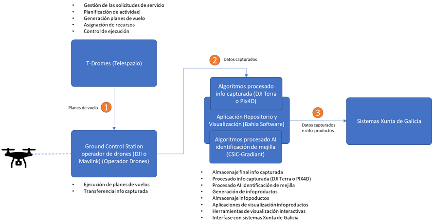
The proposed solution aims to provide a set of tools that cover the phases of capture, cataloguing, analysis and exploitation of data related to the evolution of spat recruitment of mussels, as well as other related species, in the rocky intertidal of Galicia.
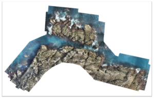
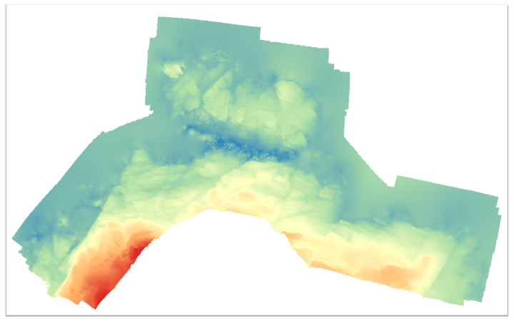
Analyze the terrain data, identifying the presence of cheek and, potentially, barnacle, as well as accompanying species present in the ecosystem, through a process of segmentation and zoning of the information collected.


